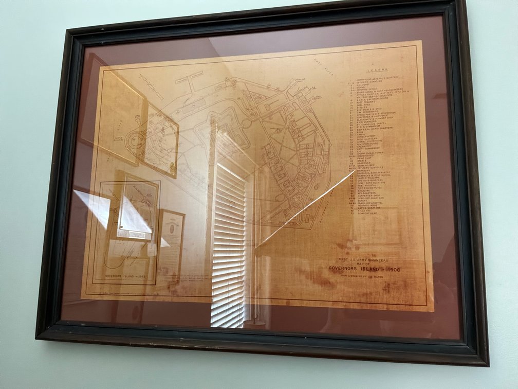
#444 • First U.S. Army Engineers Governors Island Map
Part of Estate of Mr. Tyree B. Harris IV- Lexington, VA (timed auction by Circle C Auction Company)
High bid $36.00
Status: SOLD
Framed historical map of Governors Island (1), measuring 24.25 x 30.25 inches. The piece features detailed cartography originally dated 1908 by the First U.S. Army Engineers, displaying extensive site legends, revision dates up to 1962, and prominent landmarks including Fort Columbus and Buttermilk Channel.